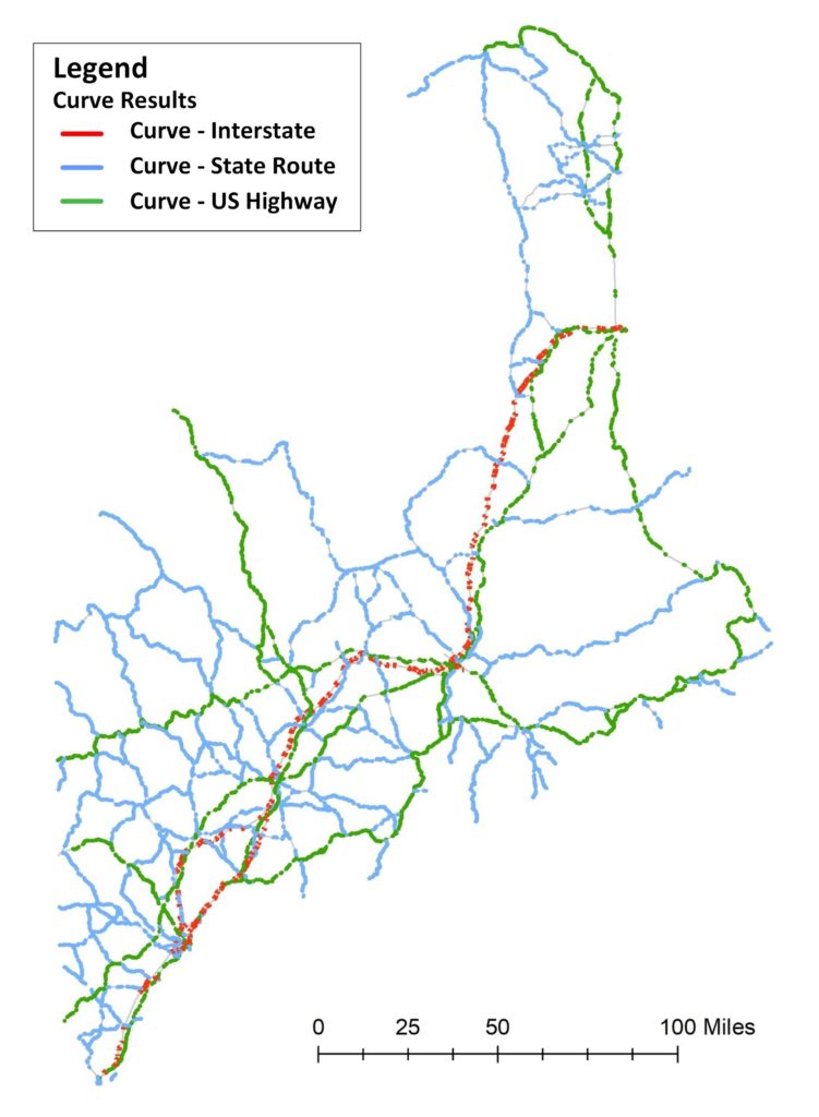
- Update Date: 12/08/2018
- Basemap Data Source: MaineDOT ArcGIS REST Services (Link) (Copyright: Maine Department of Transportation (MaineDOT))
- Coverage: Maine State Highway System
- Layers: MaineDOT_Curve (7,518 Events), State_Route_LRS (131 Routes)
- Format: MDOT_Curve_v02.gdb
- Dataframe: GCS_North_American_1983 (GCS), NAD_1983_UTM_Zone_19N (Meters) (PCS)
- Download Link: Please contact Ai Research Group for instructions
Disclaimer – All the results and information for the horizontal curves on this website were derived ONLY for academic research purposes. The Ai Research Group derived the results based on the publicly available data at the time of processing, but it does not guarantee any changes in the data sharing policy of the hosting agencies. Please contact the data hosting agencies for more information. The copyright of the data belongs to the data hosting source as the copyright text indicates. The Ai Research Group has internally evaluated and validated the results before it releases any results on this website, but it does not guarantee the quality and the accuracy of the results, nor imply any of its potential applications. Please use the data and the results at your risk, and please use the data ONLY for academic purposes.
